Yield Consortium
Earth Observation for Agriculture
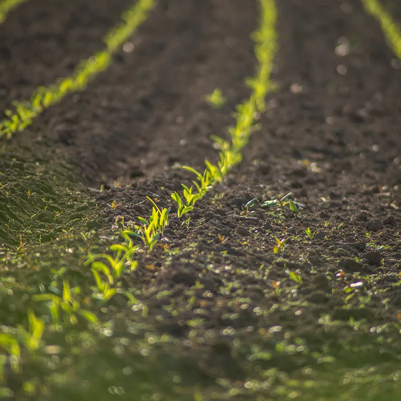
We use satellite imagery to predict agricultural yield reliably and early in the season. This helps to use resources more efficiently and to make informed agronomic decisions.
Global agriculture is facing challenging times. Increasing amounts of impervious surfaces, unreliable and rapidly changing weather conditions as a result of climate change and a growing population are posing an increasing number of challenges to the field. At the same time there is an increasing amount of legislation about the efficient use of resources.
Our mission
Agriculture is becoming more and more demanding. In order to increase agricultural yields while using resources efficiently, it is important to be able to take decisions early on, for example the efficient distribution of fertilizers and pesticides.
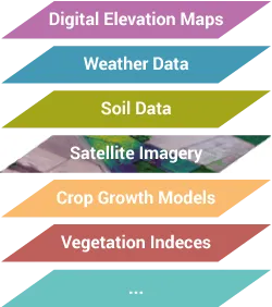
Machine learning can support farmers but is often limited by the availability of relevant data. Since it is often challenging to get access to and harmonize the needed agricultural data, the Yield Consortium focuses on the use of earth observation data instead. We develop techniques for processing satellite data, yield maps, weather data, soil data and digital elevation maps, then combine those sources in machine-learning models to predict agricultural yields with sub-field precision.
In addition, we aim to bring digitalization and agriculture closer together. Many farmers have a multitude of relevant data sources. Their use is often limited because of missing harmonization. We help farmers make use of their data, such as agricultural yield maps.
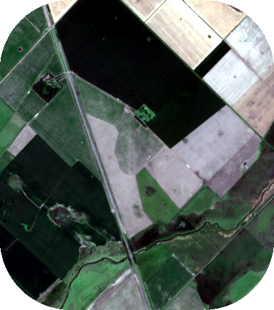
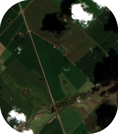
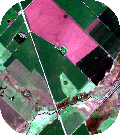
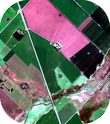
Satellite data
 19.10.2018
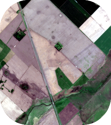
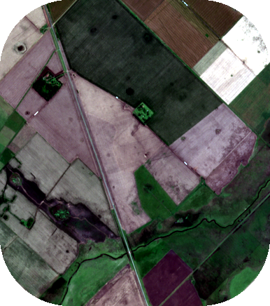
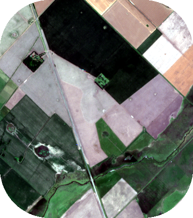
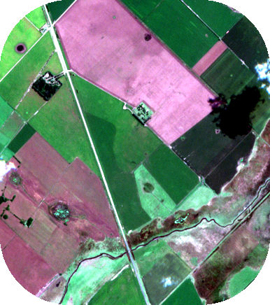
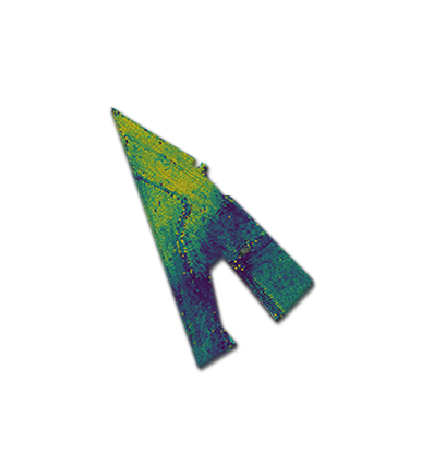
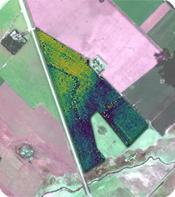
The animation shows a time series of satellite images of an agricultural field in Argentina and the predicted yield. Based on satellite data collected over the growing season, our AI models make precise and early yield predictions.
Expertise
Remote Sensing
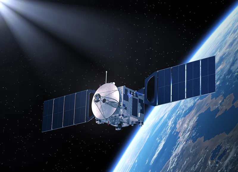
Remote sensing is one of the core technologies of earth observation and has a multitude of possible applications in agriculture. It offers the potential to monitor large spatial regions with high temporal frequency.

Artificial Intelligence
The German Research Center for Artificial Intelligence is the world's largest independent research center for artificial intelligence. Our experts focus on the transfer of research results to industrial applications.
Domain Expertise
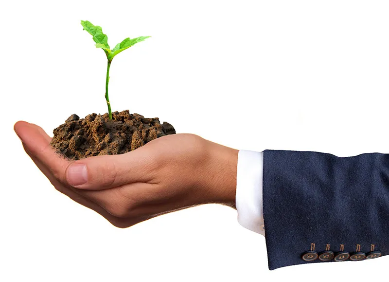
Domain expertise is key to success. We therefore collaborate closely with industrial partners who have long-standing experience in agriculture. Combining this with AI expertise at DFKI and earth observation data lets us develop technology for industrial applications.
Methods
It is well known that indices derived from satellite imagery, such as the normalized difference vegetation index (NDVI), can be used to predict the biomass of crops. It is, however, challenging to predict yield from biomass alone. Crops with a large biomass can still result in low yield when they suffer from nutrient deficiencies.
We use artificial intelligence to directly predict yield from the full spectral information of satellite imagery. We fuse further data sources into our machine-learning models and create pixel-wise, sub-field yield predictions at a resolution of 10 x 10 metres per pixel.
Project team

Marlon Nuske
Sr. Researcher
Marcela Charfuelan
Sr. Researcher

Michaela Vollmer
Sr. Researcher

Cristhian Sanchez
Researcher

Deepak Pathak
Researcher

Miro Miranda
Researcher

Francisco Mena
PhD Student Researcher

Hiba Najjar
PhD Student Researcher
Information for farmers
We are still looking for additional cooperation partners. Do you have high-quality yield maps and are you interested in making use of them? Precise AI-based yield predictions require high-quality ground-truth data. We use yield maps from calibrated combine harvesters recorded during harvest.
Contact the Yield Consortium